パッケージ:
com.flytomap.marineapp.worldviewer.mediterraneansea
ダウンロード:
500
サイズ:
45 MB
Android 要件:
5.0 以上
アップデート:
2020年9月23日
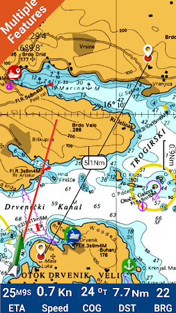

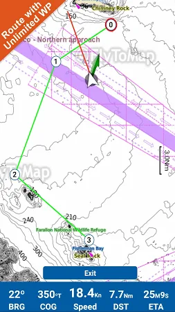
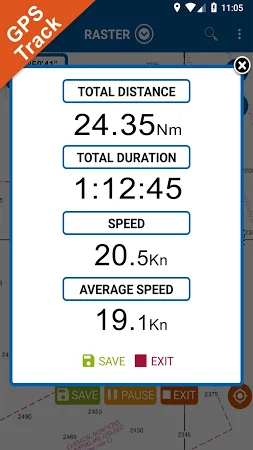
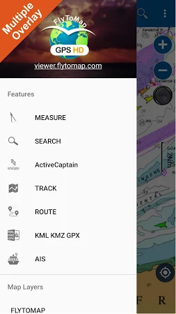
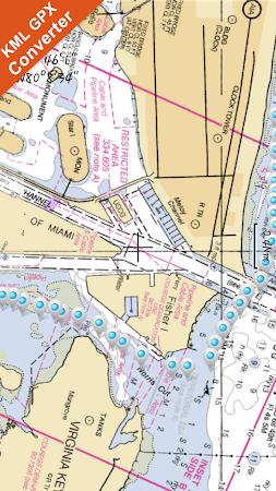
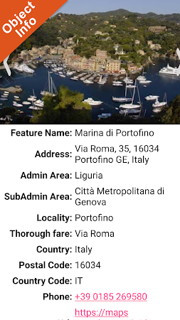
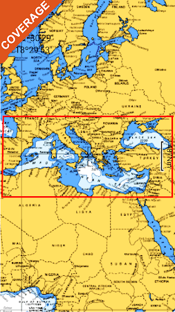
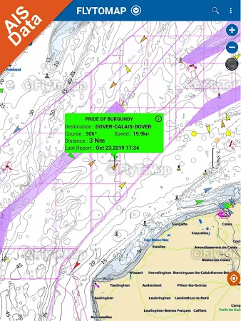
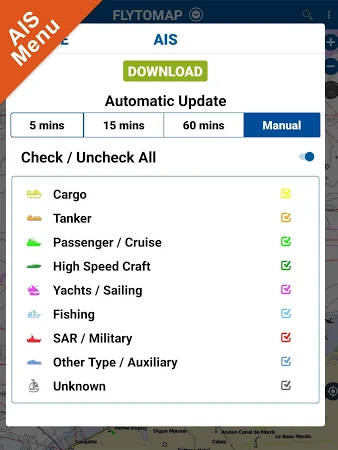
Flytomap is a valid & interesting alternative, Featured on the Deck. Featured on Geomedia. Worldwide Marine and Outdoor Maps available when connected, thanks to viewer. Flytomap. Com. Worldwide Satellite images overlay on charts. Worldwide Terrain features overlay on charts, thanks to Open Street Map, Open Cycle Map, Earth, topo maps by ESRI. Live AIS now available.
コメント