パッケージ:
com.seaiq.seaiq
ダウンロード:
100
サイズ:
25 MB
Android 要件:
5.0 以上
アップデート:
2019年8月27日
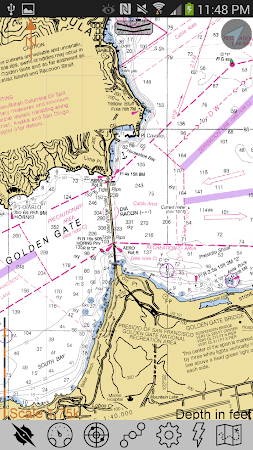
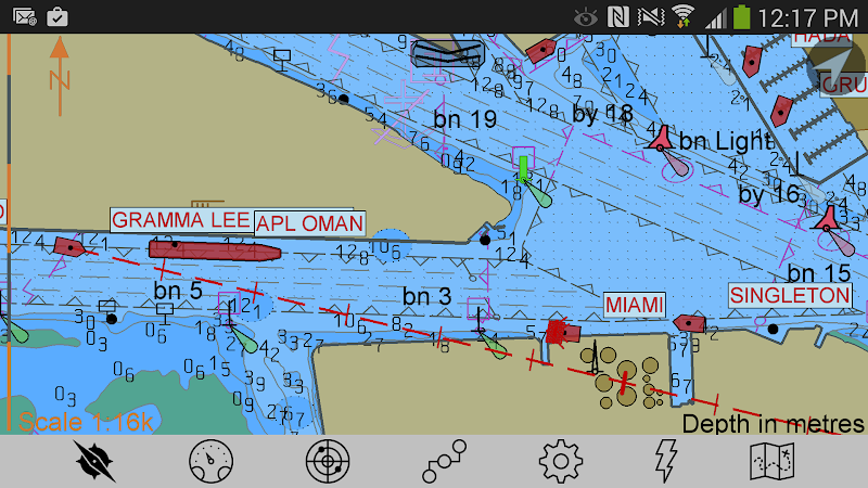

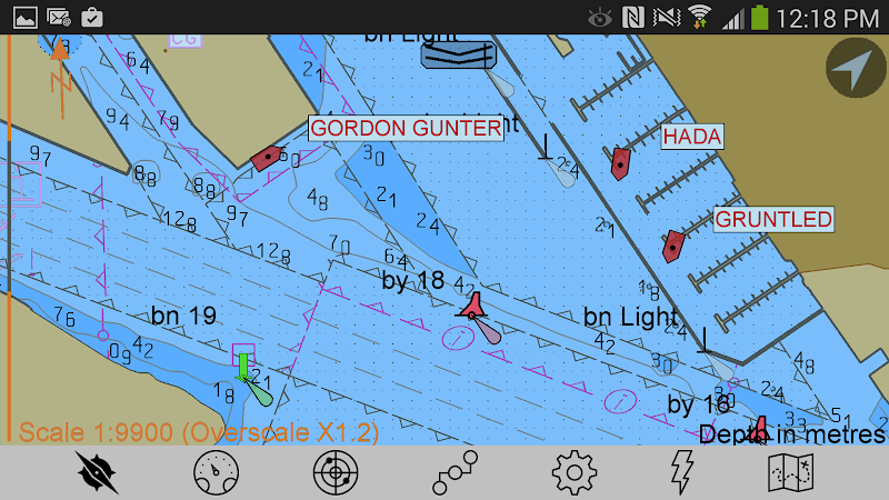
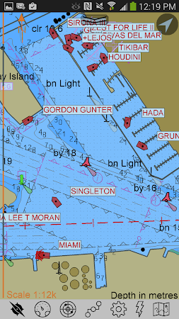
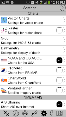
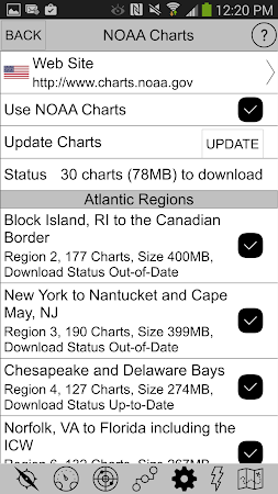
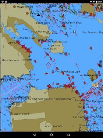
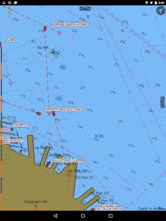
This is the only marine navigation app that allows you to load your own charts in a variety of standard formats, including: S-57, S-63, iENC, and BSB/KAP. It also includes the ability to automatically download charts from NOAA for the USA and free download of raster charts based on satellite imagery. Other features include: Waypoints. Routes. Tracks. Night color modes.
コメント