パッケージ:
com.topodroid.proj4
ダウンロード:
1K
サイズ:
2 MB
Android 要件:
2.2 以上
アップデート:
2020年10月7日


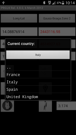
Simple coordinate converter based on the Proj4 library. The basic feature is the coversion of coordinates between two Coordinate Reference Systems. It includes the computation of the current megnetic declination based on WMM data. The coordinates can be imported from MobileTopographer point lists. The point can be visualized on maps/earth.
コメント