パッケージ:
gr.talent.nautiluscharts
ダウンロード:
100
サイズ:
35 MB
Android 要件:
4.1 以上
アップデート:
2018年5月15日
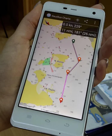
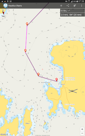
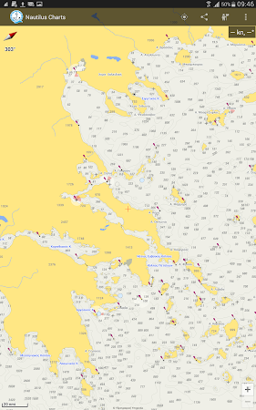
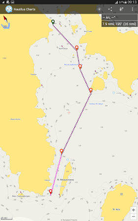
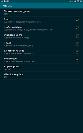
NAUTILUS CHARTS is an off-line Nautical Charts plotting and positioning system for mobile devices. The chart system is unique, since the vector data that are used to display the cartographic information come from the official HELLENIC NAVY HYDROGRAPHIC SERVICE ENC database
コメント